WEBINAR
active maps for esri users: complement your esri data
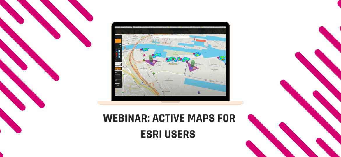
If you’re an Esri or Qgis user this webinar is for you. We explore the ways in which our Active Maps software can be used, not as an alternative to your specialist tools, but in a complementary way. Stream data from your specialist tools into Active Maps; combine data sets, visualise everything with geographical context and share the dashboards you create – without the need to multiple licenses. As the amount of data we deal with daily continues to increase the role of GIS teams becomes increasingly difficult and tasks mount up. Active Maps gives non-experts the power to quickly and easily create and share reports and dashboards or get their hands on live data when it’s needed!